

WORCESTER is expected to swelter in the the warmest end to May we have seen for five years.
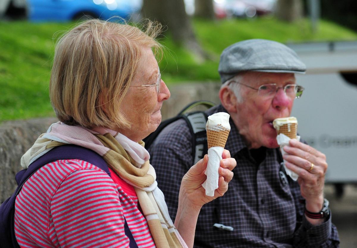
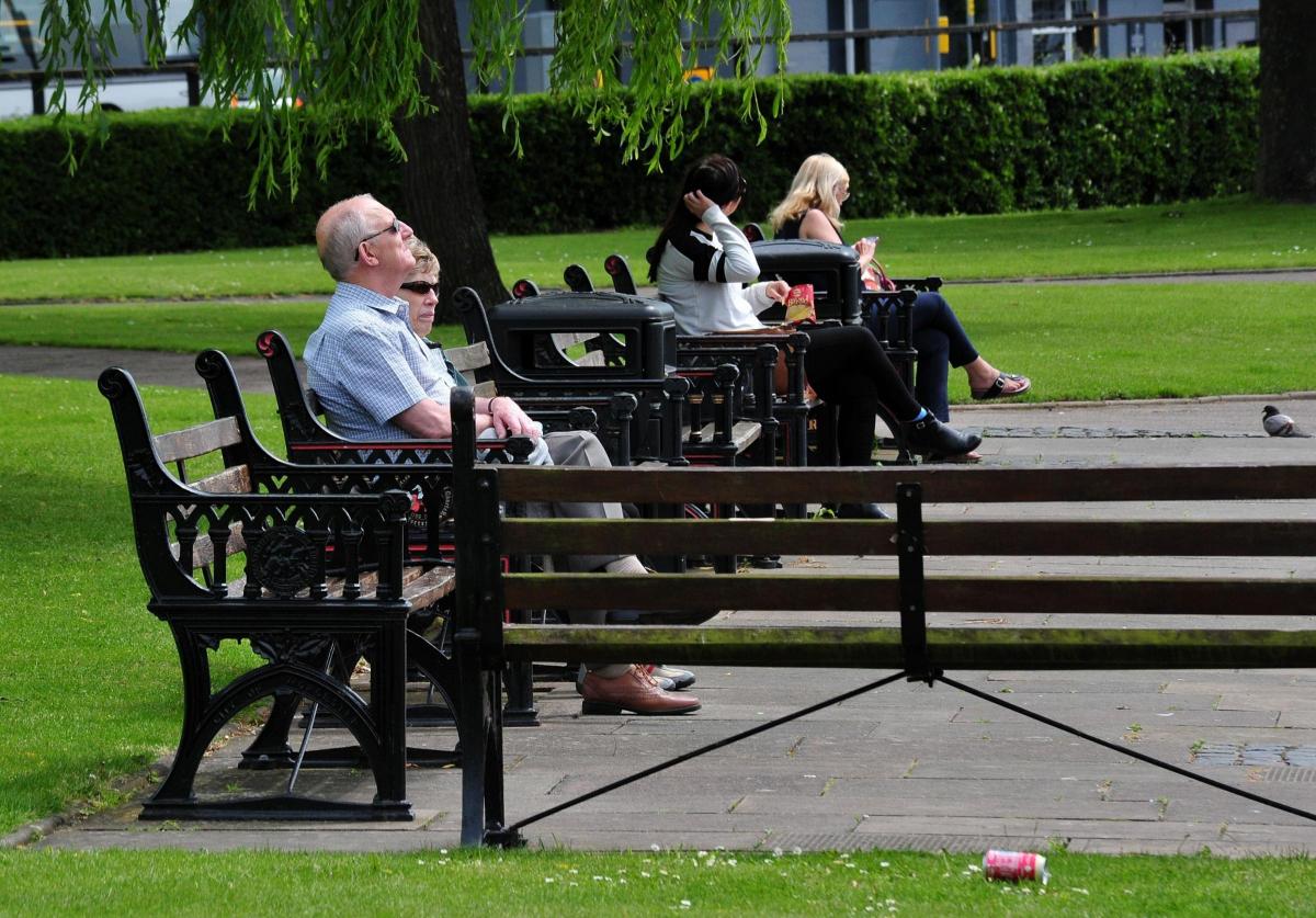
City folk may have to crack open the sun screen and cool down with an ice cream as temperatures continue to soar this week and scorching summer weather finally arrives.
Met Office officials are promising uninterrupted warm, dry, sunny weather with the highest temperatures since September expected by the end of this week.
The weather will warm up through the week with Thursday, Friday and Saturday expected to be particularly hot.
The higher temperatures are caused by a high pressure system over the British Isles.
Malvern weatherman Frank Hill said it would not be a stretch to call the warmer weather 'a heatwave' and the last time we had such a sunny, warm end to May was in 2012 when temperatures rose to between 25C and 28C.
He said: "The next two days are going to be fairly warm but also quite cloudy at times."
Mr Hill said he expected temperatures to be around 24C or 25C on Tuesday and Wednesday with Thursday and Friday even warmer and sunnier.
"We will get somewhere between 25C and 27C" he said.
The May record for Malvern is 29.4C which has stood since 1944 and he said that record is unlikely to be broken this year unlike many of the others which had fallen in the last 20 years.
It will be the warmest temperatures we have seen since last September when the mercury reached 27C.
The seven day Met Office forecast for Worcester shows a top temperature of 26C predicted for Saturday.
There will be high UV as 7 (high) on Friday with the Met Office advising people to seek shelter during midday, cover up and wear sunscreen.
The south-east of the UK will enjoy the best of the weather, driven by a high pressure system coming up from Spain, but the Midlands and East Anglia will also be warm and sunny.
Recent downpours may also help to allay some concerns about an impending drought.


Comments: Our rules
We want our comments to be a lively and valuable part of our community - a place where readers can debate and engage with the most important local issues. The ability to comment on our stories is a privilege, not a right, however, and that privilege may be withdrawn if it is abused or misused.
Please report any comments that break our rules.
Read the rules hereLast Updated:
Report this comment Cancel